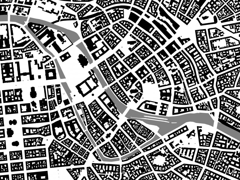
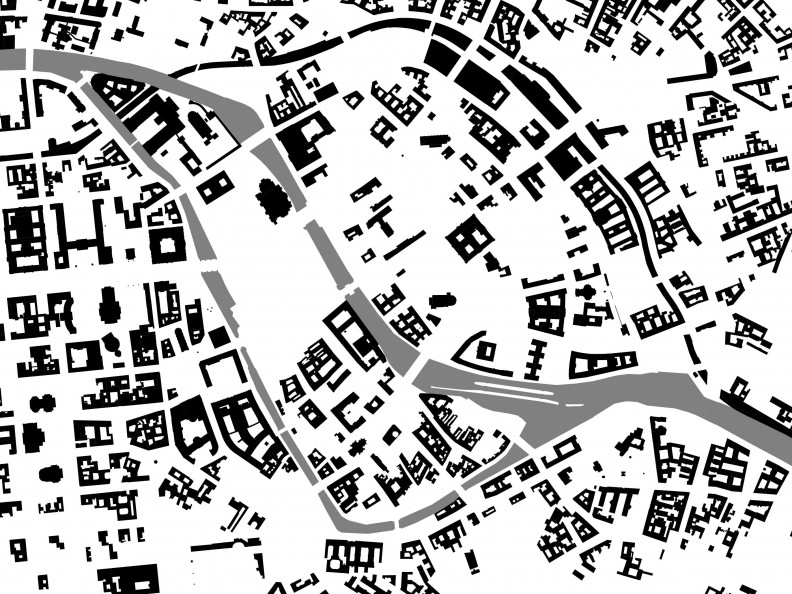
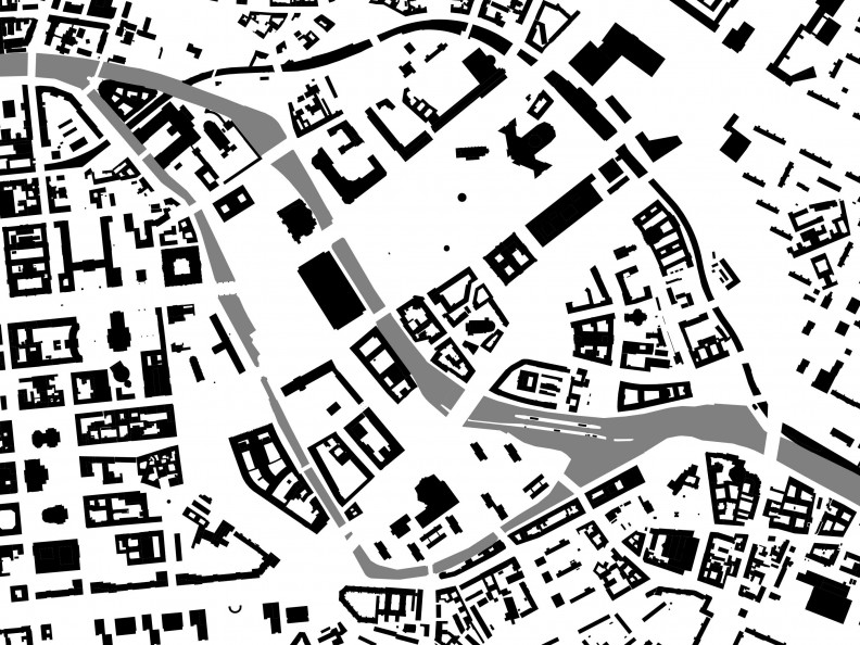
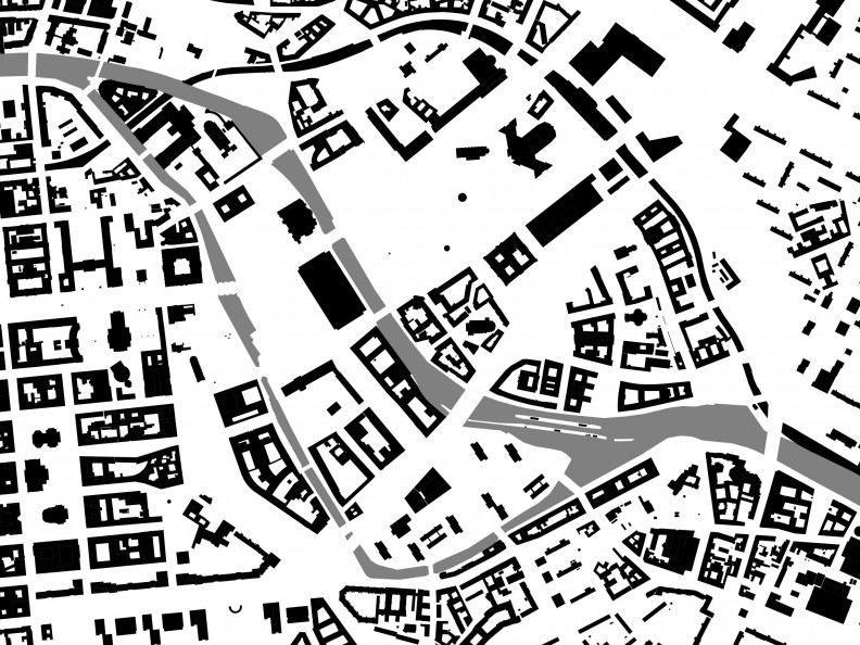
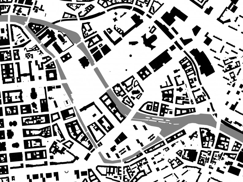
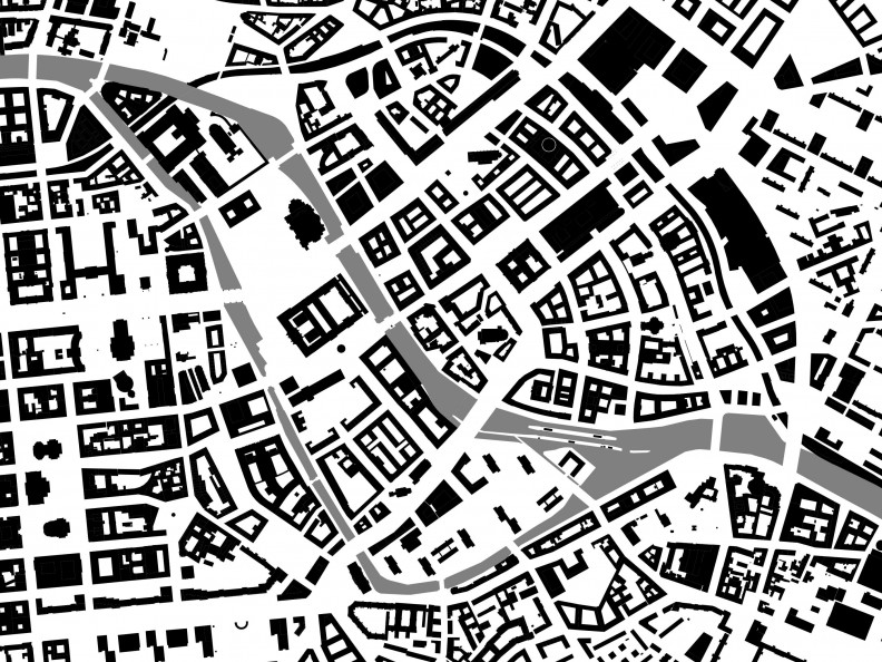
Figure-ground Plans – The City in Black and White
A figure-ground plan reduces the shape and scale of urban space to a two-dimensional diagram. It shows the structure of a city with its streets, squares, and various block sizes as well as the form and density of its built space. It can also reveal the footprint of history without requiring additional information. A figure-ground plan represents a horizontal section of the city. Every building cut by an imagined horizontal plane passing through it at a traditional height of one metre is shown in black.
Figure-ground plans are akin to the silhouette portraits popular in the eighteenth century, which also provided abstract representations of complex morphologies. While the characteristic facial features disappear in the silhouette’s solid black, the unmistakable profile of the person portrayed appears all the more clearly.
In the history of urban design, figure-ground plans were often used as an urban planning tool to depict the spatial impact of existing and planned buildings. Looking at a figure-ground plan is to virtually roam the streets with your eyes.
In the late nineteenth century, important publications on urban design theory such as Joseph Stübben’s Der Städtebau (Urban Design) or Camillo Sitte’s City Planning According to Artistic Principles (often translated as The Art of Building Cities) began using figure-ground plans to analyse the urban design qualities of well-known squares and streets in European cities, making it possible to compare their scales, proportions, and forms. When a trend towards more open urban structures emerged in the twentieth century, figure-ground plans lost much of their relevance as an urban planning tool.
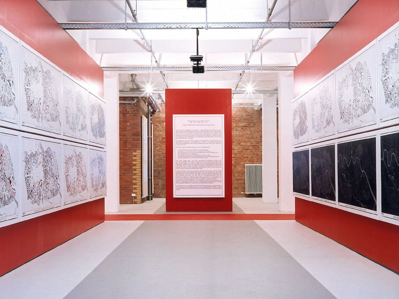
Something of a figure-ground revival has been taking place in Berlin since 1996, when the Senate Department for Urban Development and Housing began to draw up plans for the city centre. Figure-ground plans were used to map the extent of destruction wrought by bombs during the Second World War and by post-war demolition for new developments. They also proved helpful in a critical reconstruction of the city’s layout.
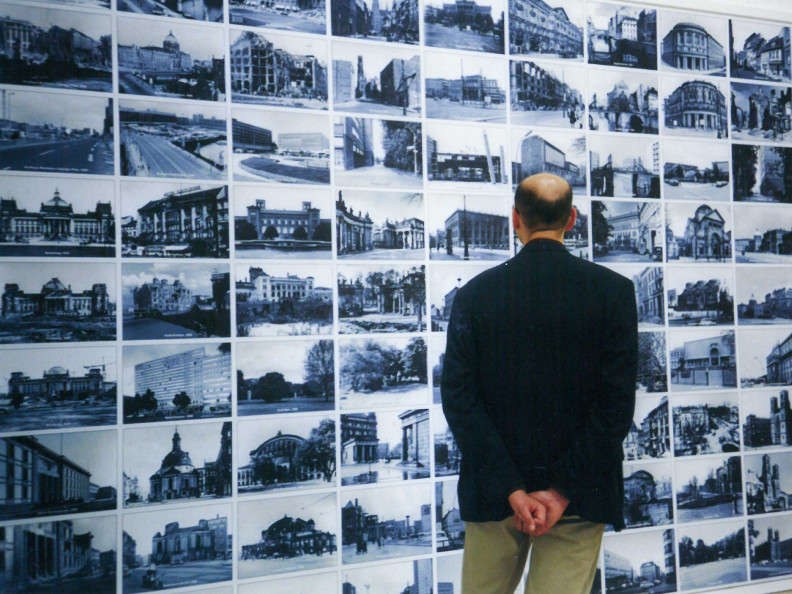
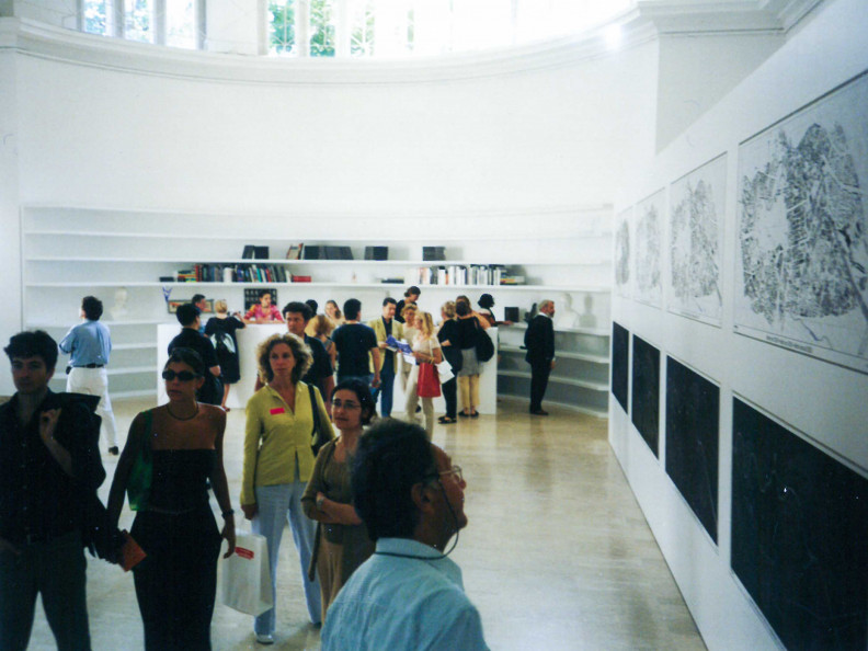
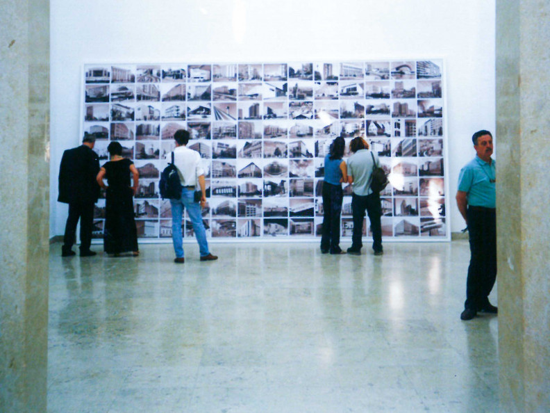
The Urban Development Department commissioned Nöfer Architekten with compiling these plans and collaborated in their production. The results have been shown in numerous exhibitions – including the German display at the 2000 Venice Biennale of Architecture – and can be seen in a range of publications.
- Time frame
-
1999 - 2000
- Site
-
Berlin
- Copyright
-
Nöfer Architekten